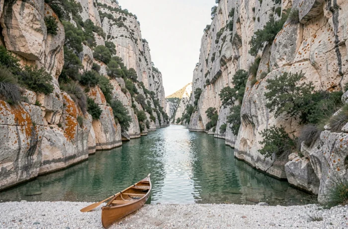
This geological and climatic diversity places the territory among the most varied in Western Europe. The increasing attendance at certain natural sites raises concrete questions about access conditions, the preservation of environments, and how managers adapt their regulatory tools.
This article does not propose yet another ranking of the most beautiful landscapes. Instead, it examines what is changing in the way visitors access French natural tourist resources and what this implies for them.
Access Regulation to Natural Sites in France: What Has Changed
Several iconic sites have shifted to a mandatory reservation system to limit pressure on the environments. In the Calanques National Park, access to the Sugiton and Pierres Tombées calanques is subject, during periods of very high attendance, to a mandatory but free reservation. The system aims to curb trail erosion without creating a financial barrier.
This model remains minority at the national level. Most national and regional parks maintain free access, sometimes regulated by occasional municipal or prefectural orders. However, the trend is accelerating on the most frequented long-distance hiking routes.
To deepen the typology of natural resources on Quelque-part, it is useful to distinguish between sites with permanent free access and those experimenting with seasonal filtering mechanisms.
The Case of the Tour du Mont-Blanc
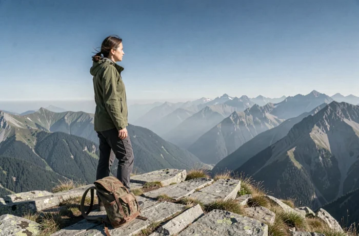
The Tour du Mont-Blanc illustrates this evolution well. A charter in preparation plans, for the French part, to condition hiking on the trail to a prior reservation in a refuge, accommodation, campsite, or authorized bivouac area. Implementation is expected in spring 2027. The project includes controls on the trails and a fee per site.
Field feedback on this point varies. Some mountain tourism professionals see it as a necessary preservation tool. Others believe that the system risks transforming a historically open route into a commercial product reserved for the best-organized hikers.
Visitor Forecasting and Digital Tools in Natural Parks
Regulation does not only involve restrictions. Several managers are investing in forecasting tools to redistribute flows rather than block them.
The Marquenterre Park, in the Bay of Somme, offers a hour-by-hour attendance forecast up to fifteen days in advance. The system relies on meteorological and historical data to estimate attendance. The goal is to suggest less crowded time slots to visitors without imposing closures.
This type of system raises a rarely addressed question: the reliability of predictions. The available data does not yet allow for precise measurement of the impact of these tools on the actual behavior of visitors. A display of low attendance can, by a windfall effect, provoke an unexpected influx.
Which Natural Sites Use These Technologies
The most visited national parks (Calanques, Vanoise, Pyrenees) are experimenting with various sensors and counters. Regional parks, often with more modest budgets, rely more on manual estimates or feedback from local tourist offices.
The generalization of these tools remains uneven. The Gorges du Verdon, the cliffs of Étretat, or the Pink Granite Coast in Brittany attract an increasing number of visitors each year, without real-time forecasting systems yet deployed on a large scale.
Fines and Regulatory Framework for Natural Reserves
Beyond flow management, the regulatory framework is tightening in certain regional natural reserves. Violations of circulation, collection, or parking rules can lead to financial penalties.
This information remains little visible to the general public. Reserve entrance signs rarely mention the details of penalties, and institutional websites do not always highlight them. A hiker who leaves a marked trail in a regional natural reserve is, however, exposed to a fine.
- Wild camping is prohibited in almost all national park cores, with regulated exceptions (hours, distance from roads).
- Collecting plants, minerals, or fossils is regulated in natural reserves, even for small quantities.
- Drone flights require prefectural authorization in protected areas, including regional parks.
These constraints are not intended to discourage visits. They reflect increasing pressure on fragile environments, where attendance sometimes exceeds the absorption capacity of ecosystems.
Mountain Landscapes, Gorges, and Coastline: Uneven Pressures by Region
The distribution of attendance across French territory is far from homogeneous. The Alps, the Pyrenees, and Provence concentrate a very significant share of visitors seeking nature, while massifs like Livradois-Forez in Auvergne or Morvan in Burgundy remain significantly less saturated.
This disparity creates a cycle: the most publicized sites attract more visitors, which accelerates their degradation and justifies restrictive measures, which in turn fuels media coverage. Conversely, rural territories with remarkable landscapes struggle to attract visitors despite existing hospitality infrastructures.
- The Gorges du Tarn in Occitanie offer some of the highest limestone cliffs in France, with attendance still moderate compared to the Calanques.
- The Bénou plateau in Béarn offers an accessible high-altitude pastoral landscape without technical equipment.
- The hinterland of Var in Provence remains away from coastal flows while offering dense forest hikes.
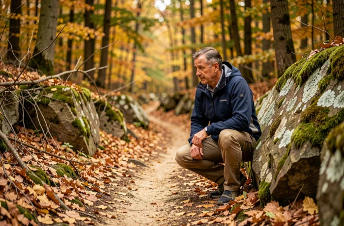
The diversity of French natural tourist resources is not only measured by the number of classified sites. It also depends on the ability of managers to adapt their tools, the knowledge that visitors have of the rules in force, and the choice of less exposed destinations to over-visitation. Free access to nature in France is no longer a uniform acquisition; it is now negotiated site by site, season by season.